- Engineering Consulting
- Hydrology
- Smart Scan
- Surveying
- Scanning
- Drone
- Mobile Mapping & surveying
- GIS & Data Management
- Data Processing, Deliverables & Reporting
- Hydrographic & Marine Surveys (when applicable)
- 3D Laser Scanning & Smart Surveying
- Aerial & Drone-based Surveys
- Corridor & Transportation Surveys
- Utility & Infrastructure Surveys
- Engineering & Construction Surveys
- Topographic & Cadastral Surveys
- Control & Geodetic Networks
- GIS
- Geophysics
- Programing
- Building Information Modeling
- Environmental
- AI & Smart Cites

Department
Surveying
Through a unique combination of engineering, construction and design disciplines and expertise.
Surveying
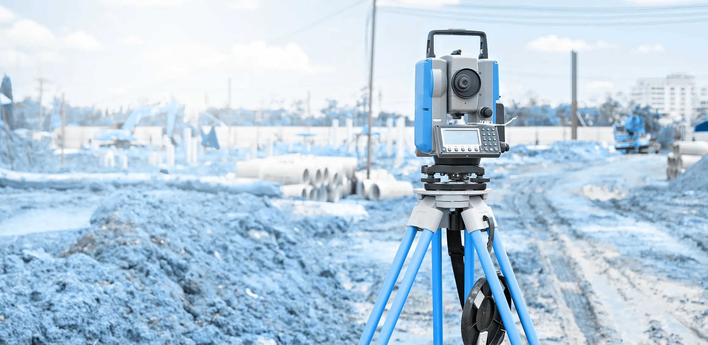
AJC has an integrated survey team and survey equipment capable of lifting from the field for each of:
- Road networks.
- Bridges.
- Farmland.
- Buildings.
- Land uses.
- Calculation of levels.
- Converting between data formats.
- As well as office work, including:
- Drawing diagrams.
- Drawing AutoCAD.
- Cadastral maps.
- Topographic maps.