Department
3D Models
Through a unique combination of engineering, construction and design disciplines and expertise.
3D Models
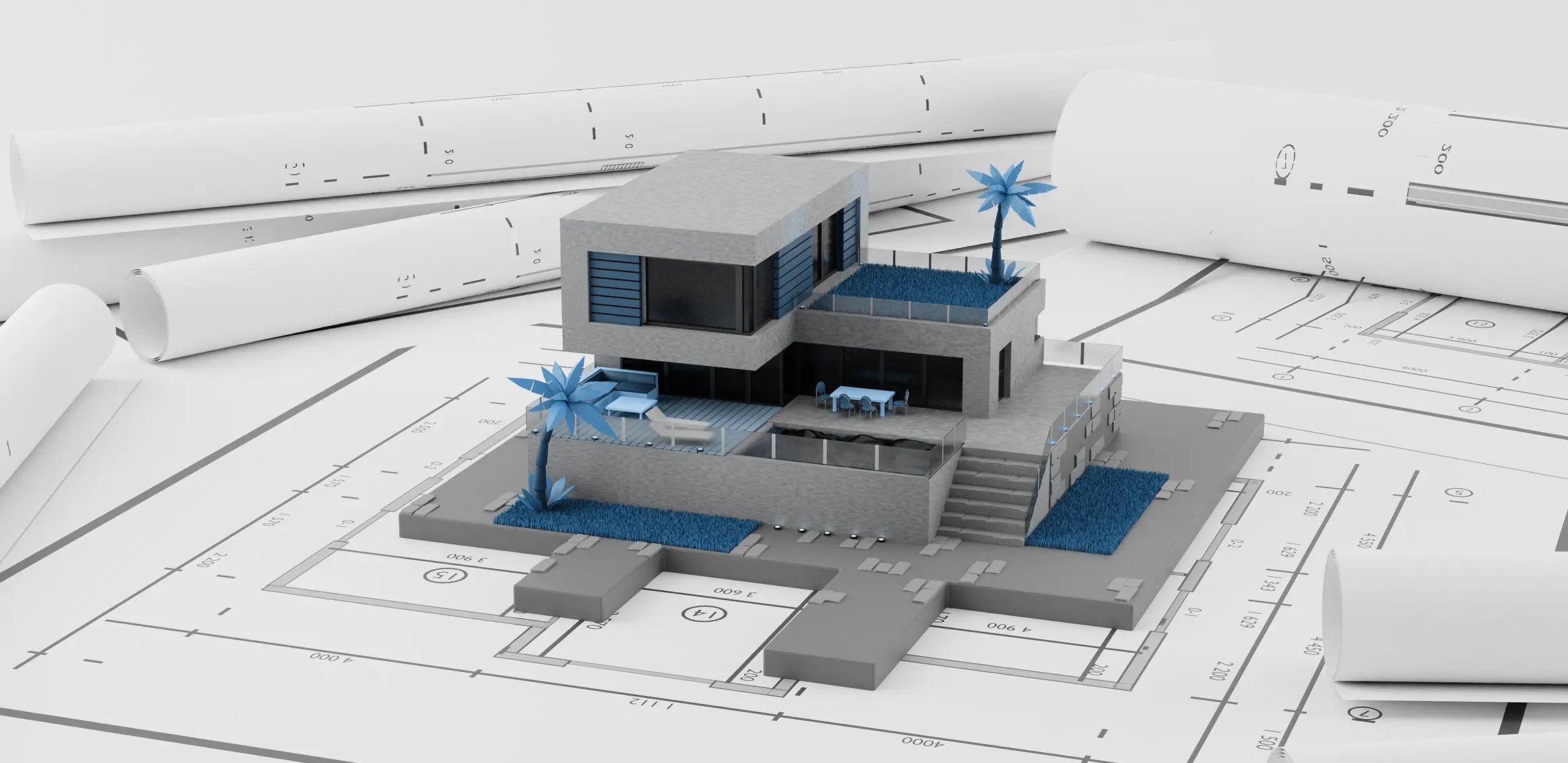
In the field of civil engineering, 3D models play a vital role in the planning, design, and analysis of infrastructure projects. Civil engineers utilize 3D modeling techniques to create virtual representations of buildings, bridges, roads, dams, and other civil structures. These models provide a comprehensive understanding of the project's geometry, spatial relationships, and physical properties.
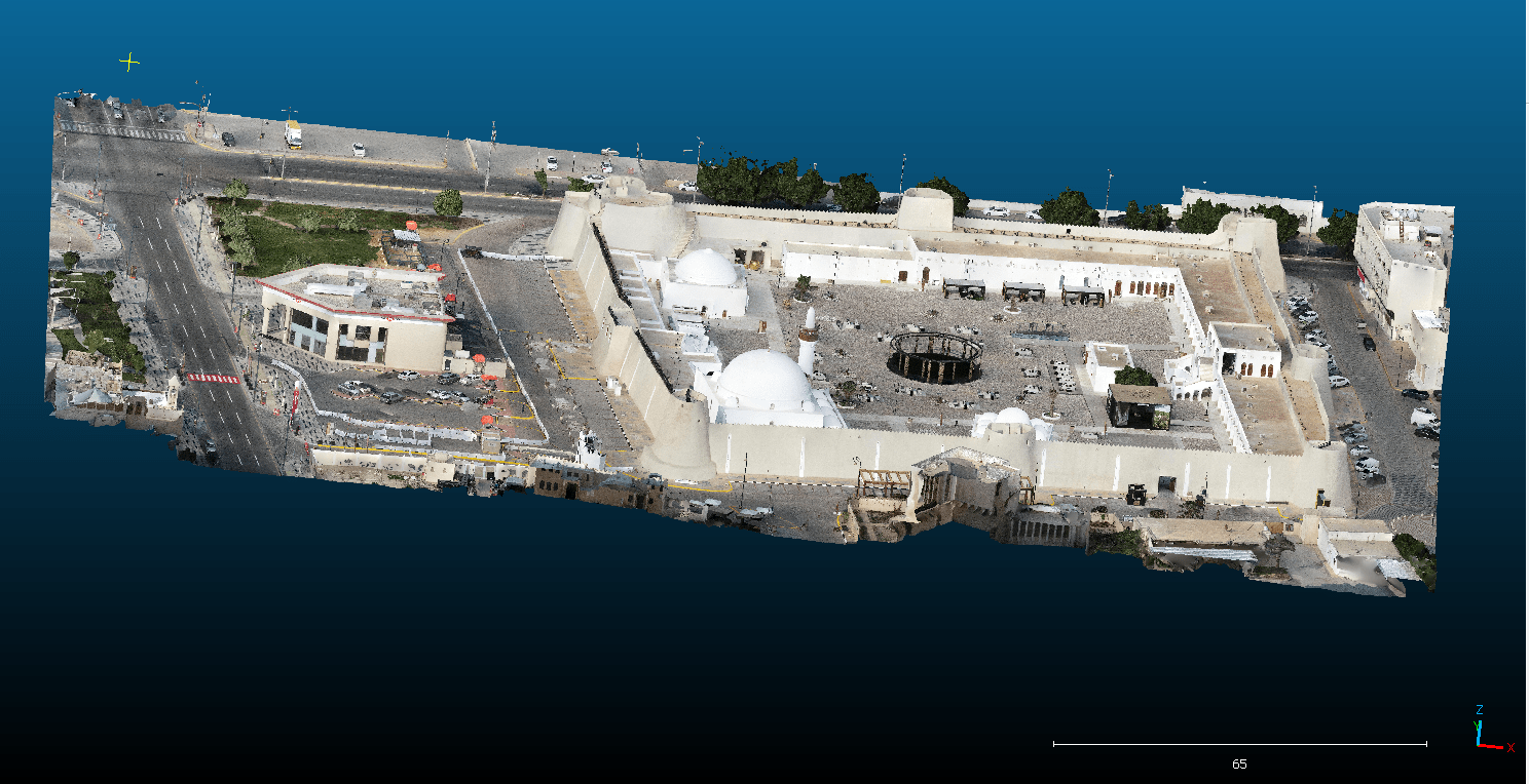
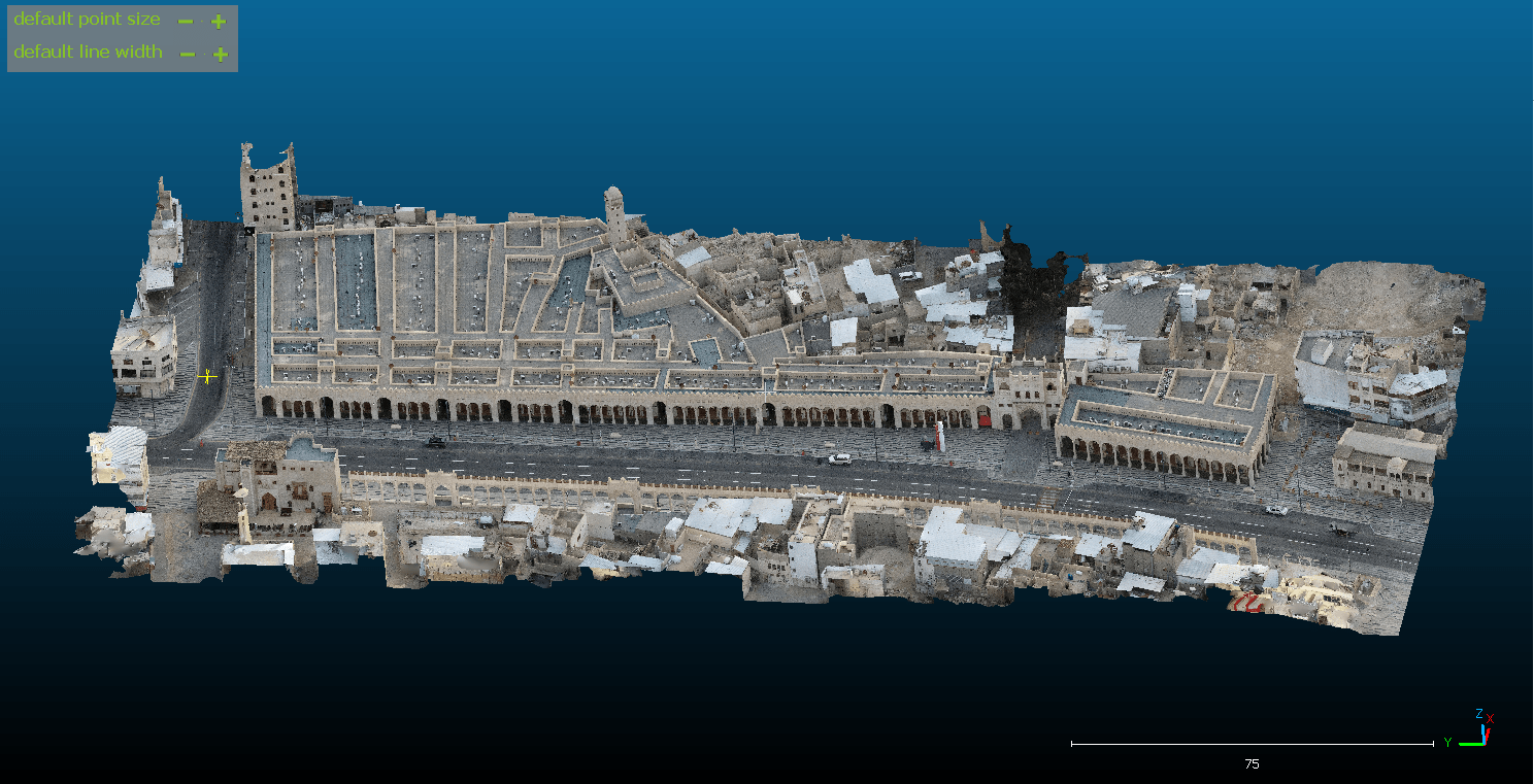
3D Models technology within our AJC company’s profile is applied across various spatial domains, offering a range of impactful applications:
Site Visualization:
Utilizing 3D models enhances site visualization, providing a comprehensive understanding of the spatial layout and design.
Architectural Planning: In architectural projects, 3D models play a crucial role in visualizing structures, aiding in design development and client communication.
Urban Development: The technology contributes to urban planning by creating detailed 3D models for cityscapes, helping in infrastructure development and zoning.
Infrastructure Design: 3D models support precise infrastructure design, allowing engineers to assess and optimize projects before implementation.
Land Use Planning: For land development and zoning purposes, 3D models provide a clear representation of land use, supporting informed decision-making.
Virtual Tours: 3D models enable virtual tours, offering stakeholders and clients an immersive experience of the spatial layout and design.
Project Simulation: The technology allows for project simulation, assisting in analyzing potential challenges and optimizing solutions before execution.
Spatial Analysis: 3D models facilitate spatial analysis, offering insights into terrain, elevations, and spatial relationships for informed decision-making.
By incorporating 3D Models technology into our spatial solutions, we enhance visualization, analysis, and decision support across a diverse range of projects


