
Geographic Information Systems
At Abdul Rahman Abdul Jazar Engineering Consultants (AJC), the Geographic Information Systems (GIS) & GeoAI Department plays a pivotal role in transforming spatial data into actionable insights. Our team of specialists integrates GIS, Remote Sensing, BIM, and Artificial Intelligence technologies to provide innovative solutions that support strategic decision-making across infrastructure, urban planning, utilities, and environmental projects.
- Geospatial Data Management.
- Spatial Analytics and Modelling.
- Mapping & Analysis.
- Interactive Maps.
- Story Map.
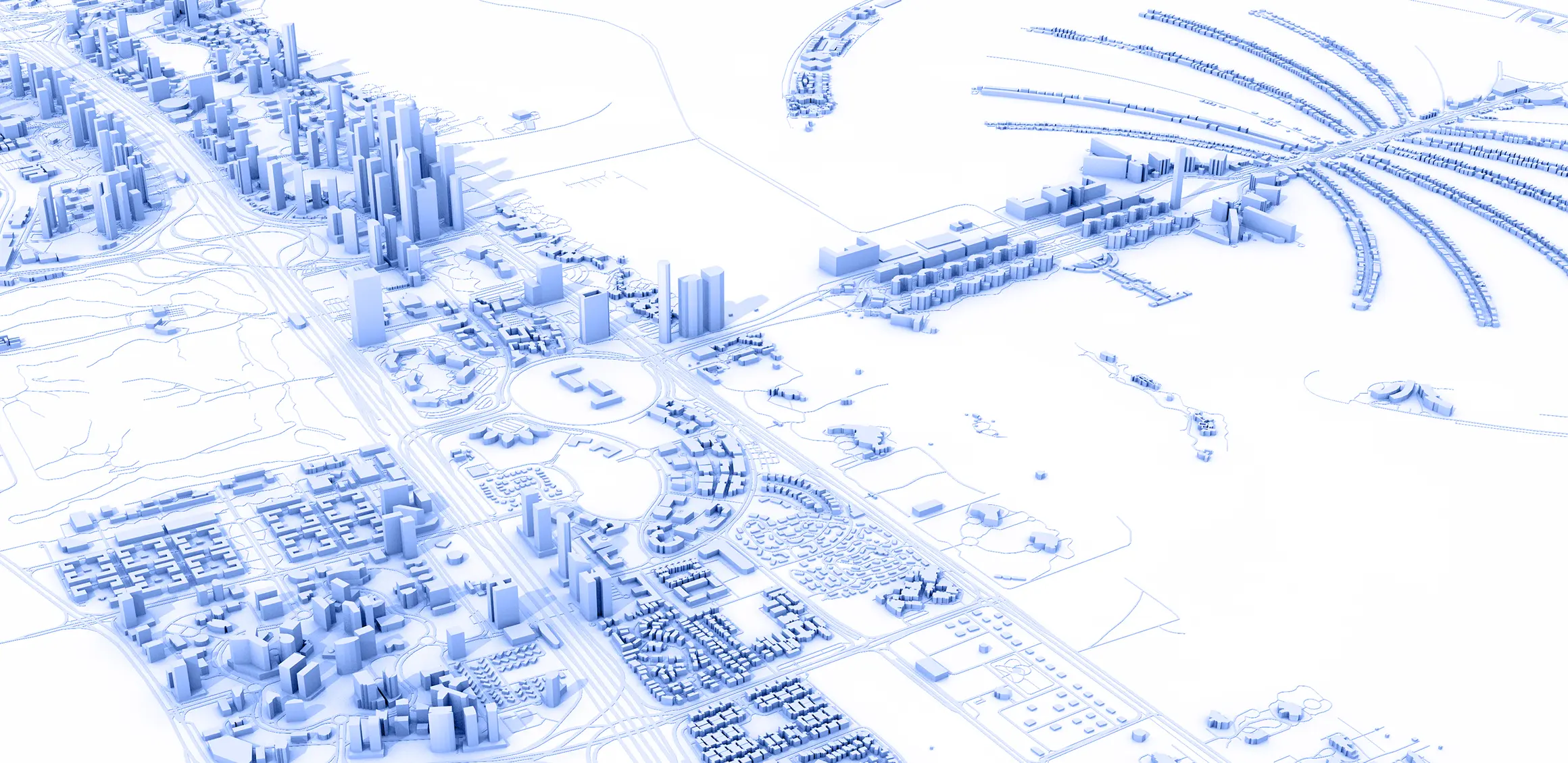
- Digital Twins.
- Geo AI.
- GEO-BIM.
- In Doors.
- Smart Cities Solutions.
- Remote Sensing.
By combining spatial science with AI innovation, our department enables smarter cities, sustainable development, and data-driven planning—supporting government entities, infrastructure projects, and mega-developments across the Kingdom and the wider region.