- Engineering Consulting
- Hydrology
- Smart Scan
- Surveying
- Scanning
- Drone
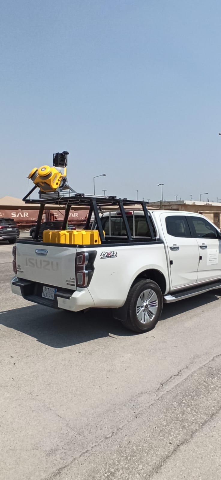
- Mobile Mapping & surveying
- GIS & Data Management
- Data Processing, Deliverables & Reporting
- Hydrographic & Marine Surveys (when applicable)
- 3D Laser Scanning & Smart Surveying
- Aerial & Drone-based Surveys
- Corridor & Transportation Surveys
- Utility & Infrastructure Surveys
- Engineering & Construction Surveys
- Topographic & Cadastral Surveys
- Control & Geodetic Networks
- GIS
- Geophysics
- Programing
- Building Information Modeling
- Environmental
- AI & Smart Cites

Department
Aerial & Drone-based Surveys
Through a unique combination of engineering, construction and design disciplines and expertise.
Aerial & Drone-based Surveys
- UAV photogrammetry for orthomosaics, DSM/DTM.
- UAV LiDAR for dense point clouds and vegetation penetration.
- High-resolution imagery for inspection & monitoring.
