- Engineering Consulting
- Hydrology
- GIS
- Smart Scan
- Geophysics
- Electromagnetic Terrain Conductivity (TEM)
- Magnetic survey
- Borehole Geophysical and Video Logging
- Microgravity Surveys
- Seismic Tomography
- Seismic Refraction, using delay-time & tomography data analysis
- Cross hole Seismic Testing
- Very Low Frequency (VLF) Profiling
- Electrical Resistivity Tomography (ERT), Soundings, and Profiling
- Programing
- Building Information Modeling
- Environmental
- AI & Smart Cites

Department
Create Geographical Databases
Through a unique combination of engineering, construction and design disciplines and expertise.
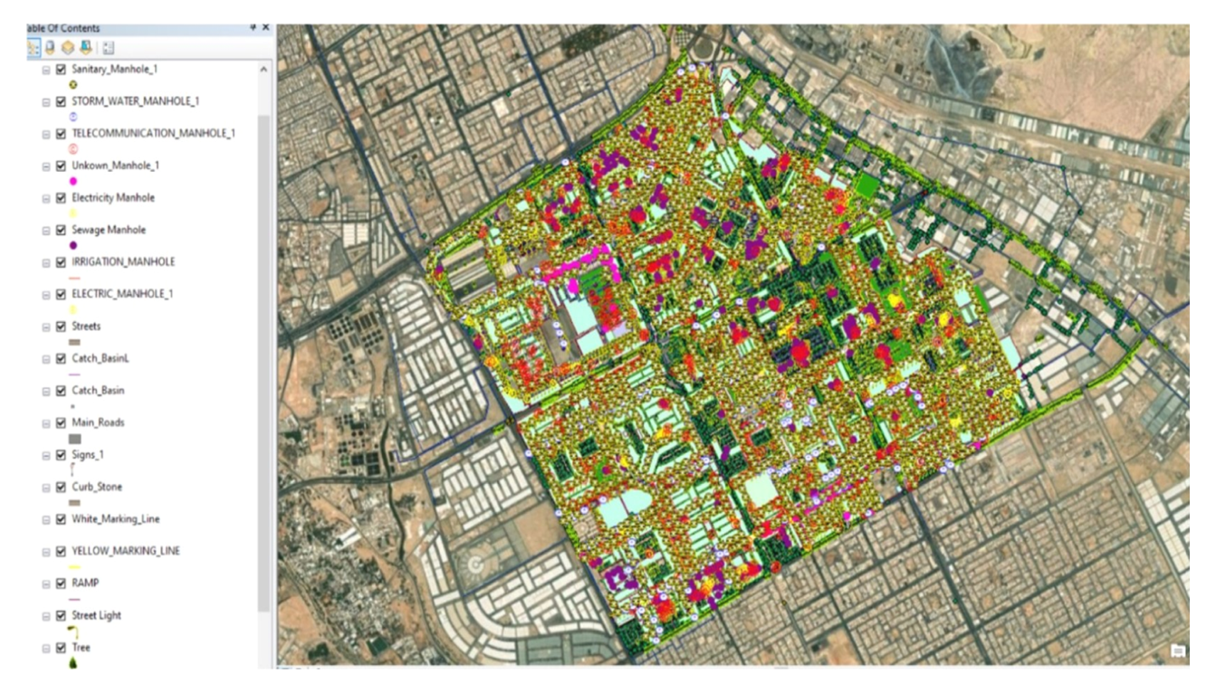
Create Geographical Databases
Geographical databases involve the creation and organization of spatial data related to specific geographic areas. These databases store a wide range of information, including geographic coordinates, boundaries, attributes, and features. The process of creating geographical databases typically involves data collection, organization, integration, validation, database design, indexing, querying, and maintenance.
Geographical databases are essential tools in urban planning, environmental management, transportation analysis, and location-based services. They provide a foundation for spatial analysis, decision-making, and visualization of geographic data.