
AJC operates a diversified fleet of survey-grade drones—including DJI Matrice 350 RTK with Zenmuse L2 (LiDAR) and P1 (photogrammetry)(RTK/PPK), DJI Matrice 300 RTK with Zenmuse L1 (LiDAR), and fixed-wing Trinity Pro (Qube 640 – Sony ILX-LR1 – ALTUM PT) —so, we can recommend the optimal platform and payload for each mission (corridor vs. large-area, dense vegetation, thermal/multispectral analytics). This mission-fit approach delivers reliable, actionable data for engineering and planning.
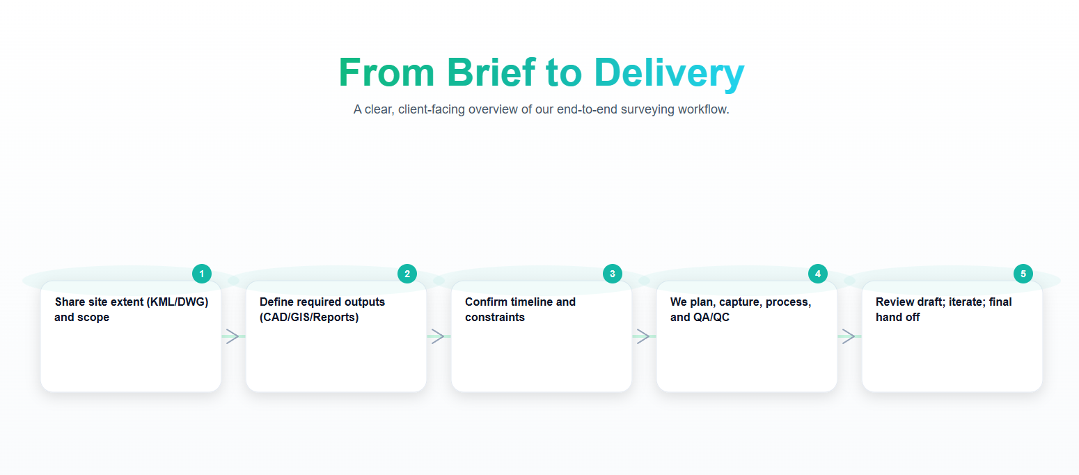
From Brief to Delivery
Rugged Terrain, No Problem
Speed, coverage, and the right sensors.
We pair platforms with the right payloads—LiDAR (L2/L1) for fast DTM/DSM and vegetation penetration, P1 for high-fidelity orthos/3D, multispectral Altum-PT for vegetation and thermal insights—so you get the shortest possible field time with centimeter-grade outcomes.
Competitive value, proven team.
Scaled teams • Optimized flight plans • Efficient extraction = lower unit cost at scale
A senior survey & geospatial team manages RTK/PPK, GCPs, QA/QC, and reporting—delivering engineering-ready outputs at competitive pricing with transparent scopes and rapid turnarounds.
Deliverables (CAD/GIS-ready):
Adding {{itemName}} to cart
Added {{itemName}} to cart