Geophysics plays a vital role in assessing structures and infrastructure by studying the physical properties of the ground and subsurface materials using non-destructive techniques. This approach aims to provide accurate data to support safe and efficient engineering decisions (cost reduction, faster design processes, increased safety).
• Determining soil type and properties: Methods like electrical resistivity (ERT, VES) and seismic wave tests are used to determine the type of soil (rocky, sandy, clayey) and its characteristics, as well as to evaluate the condition of existing foundations without the need for costly or destructive drilling — crucial for foundation design.
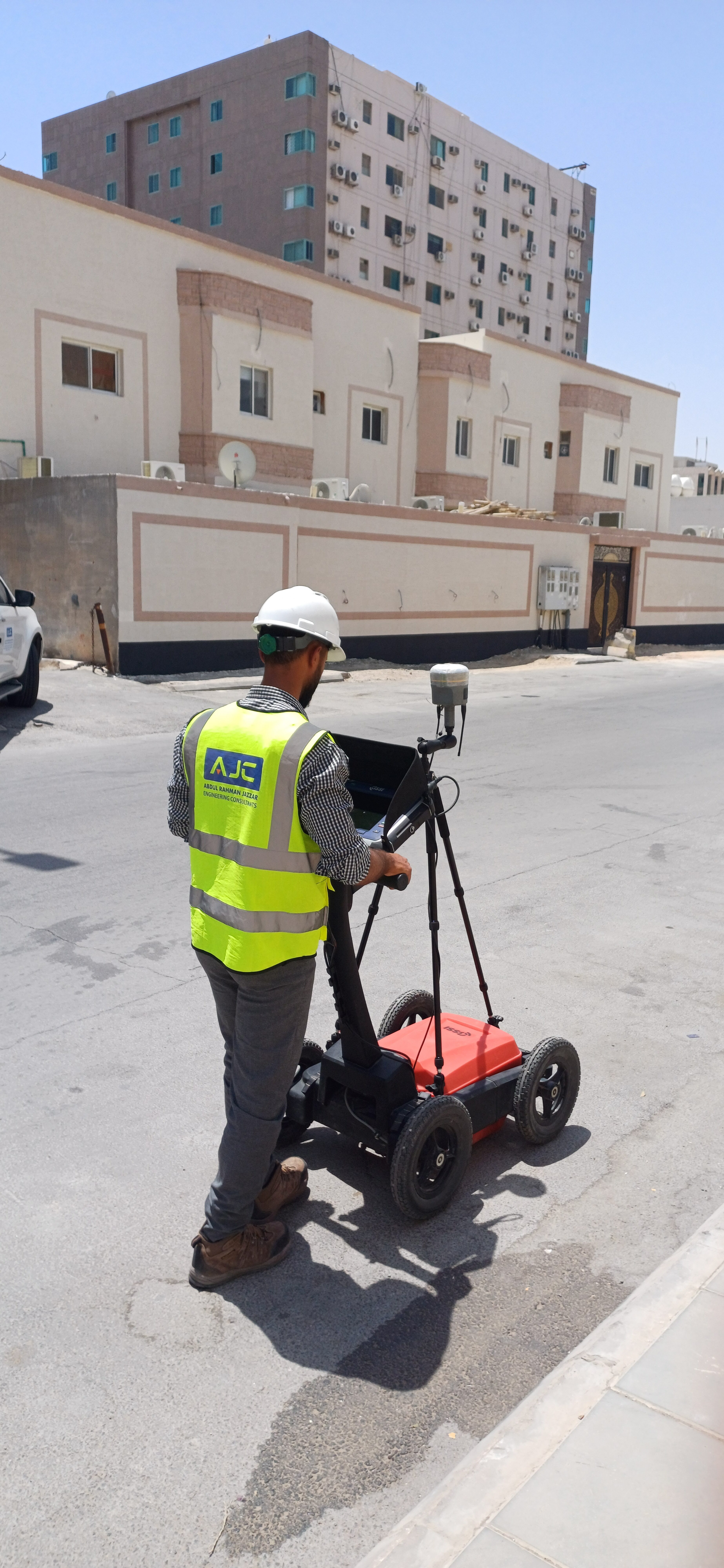
• Detecting cavities and subsurface voids: Ground-penetrating radar (GPR) technology helps identify voids or cavities that could lead to road or structure collapse.
• Slope and structure stability assessment: Seismic imaging and seismic reflection techniques analyze the stability of soil and rocks, aiding in the design of dams, bridges, and tunnels.
• Determining groundwater levels: By measuring electrical resistivity or using ground-penetrating radar, the depth and level of groundwater — which may affect building stability — can be identified.
• Underground infrastructure evaluation: Ground-penetrating radar and electrical resistivity are used to monitor ground movements and deformations in tunnels, pipelines, and tanks.
