- Engineering Consulting
- Hydrology
- Smart Scan
- Surveying
- Scanning
- Drone
- Mobile Mapping & surveying
- GIS & Data Management
- Data Processing, Deliverables & Reporting
- Hydrographic & Marine Surveys (when applicable)
- 3D Laser Scanning & Smart Surveying
- Aerial & Drone-based Surveys
- Corridor & Transportation Surveys
- Utility & Infrastructure Surveys
- Engineering & Construction Surveys
- Topographic & Cadastral Surveys
- Control & Geodetic Networks
- GIS
- Geophysics
- Programing
- Building Information Modeling
- Environmental
- AI & Smart Cites

Department
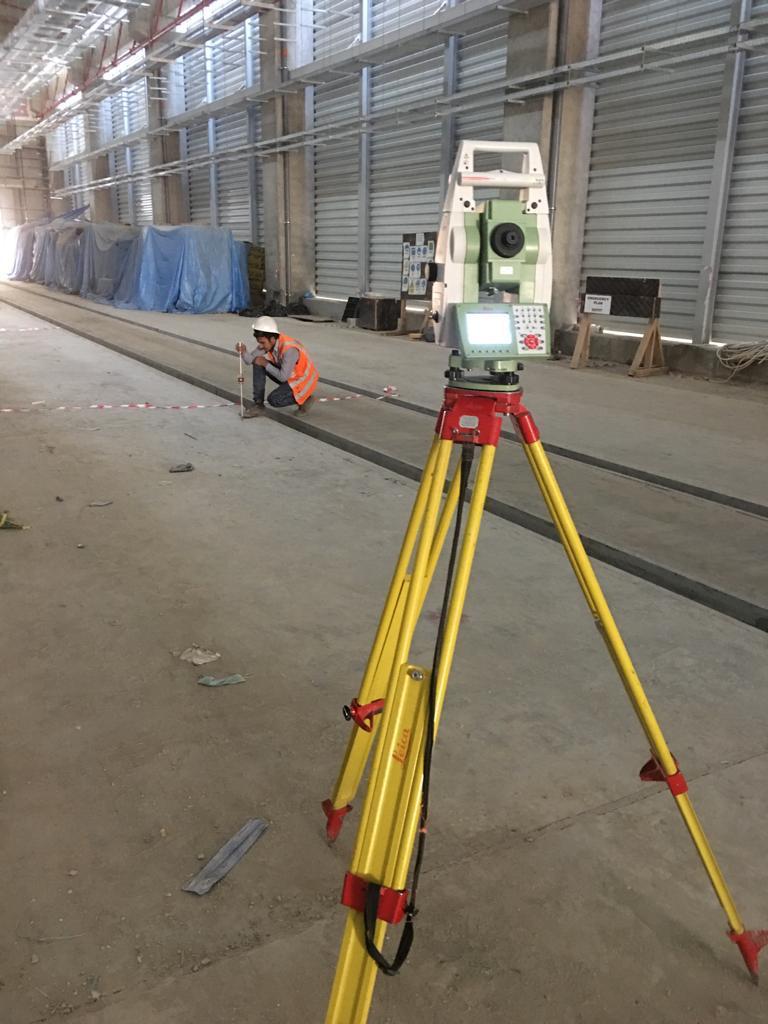
Engineering & Construction Surveys
Engineering & Construction Surveys
- Alignment & setting-out for roads, bridges, utilities, and structures.
- Construction staking (axes, levels, gridlines).
- As-built surveys for infrastructure and buildings.
- Monitoring surveys for settlement, deformation, and tilting.
