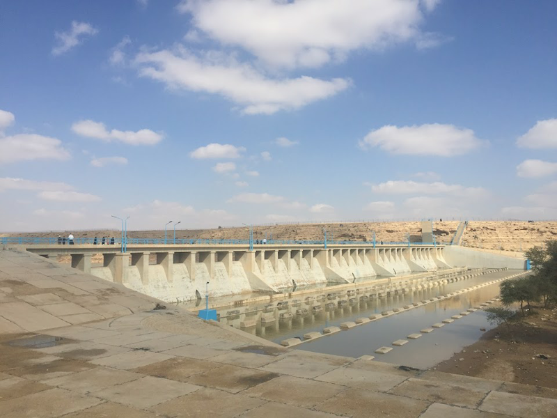
AJC specializes in simulating the movement of water in rivers, lakes, and other water bodies. Our surface water modeling services help manage water resources, design hydraulic structures, and reduce flood risks. With detailed simulations of flow patterns and water levels, we ensure sustainable water management for both natural and urban settings.
- Engineering Consulting
- Hydrology
- Smart Scan
- Surveying
- Scanning
- Drone
- Mobile Mapping & surveying
- GIS & Data Management
- Data Processing, Deliverables & Reporting
- Hydrographic & Marine Surveys (when applicable)
- 3D Laser Scanning & Smart Surveying
- Aerial & Drone-based Surveys
- Corridor & Transportation Surveys
- Utility & Infrastructure Surveys
- Engineering & Construction Surveys
- Topographic & Cadastral Surveys
- Control & Geodetic Networks
- GIS
- Geophysics
- Programing
- Building Information Modeling
- Environmental
- AI & Smart Cites

Department
Surface Water Modelling
Surface Water Modeling