- Engineering Consulting
- Hydrology
- Smart Scan
- Surveying
- Scanning
- Drone
- Mobile Mapping & surveying
- GIS & Data Management
- Data Processing, Deliverables & Reporting
- Hydrographic & Marine Surveys (when applicable)
- 3D Laser Scanning & Smart Surveying
- Aerial & Drone-based Surveys
- Corridor & Transportation Surveys
- Utility & Infrastructure Surveys
- Engineering & Construction Surveys
- Topographic & Cadastral Surveys
- Control & Geodetic Networks
- GIS
- Geophysics
- Programing
- Building Information Modeling
- Environmental
- AI & Smart Cites
Geophysics
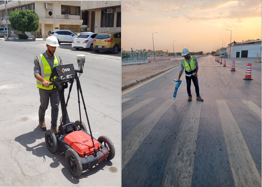
The Ground Penetrating Radar (GPR) technology is one of the core solutions in our Geophysics Department. GPR provides a non-destructive, rapid, and high-resolution method for subsurface investigation, making it indispensable for engineering, environmental, and archaeological projects.
By transmitting electromagnetic waves into the ground and analyzing the reflected signals, GPR reveals buried structures, utilities, and stratigraphy with precision. This technology reflects our department’s commitment to advanced, reliable, and field-ready geophysical solutions.
Applications of GPR
Utility Detection & Mapping: Accurate identification of underground pipelines, cables, and utilities without excavation.
Geotechnical & Civil Engineering: Assessment of pavement layers, concrete thickness, voids, and foundation conditions.
Archaeology & Heritage Protection: Non-invasive exploration of buried sites, artifacts, and ancient structures.
Environmental & Hydrological Studies: Mapping soil layers, groundwater tables, and contamination pathways.
Road & Transportation Projects: Evaluating asphalt conditions, rebar mapping, and detecting structural anomalies.
Tunnel & Metro Projects: Supporting micro-tunneling and underground infrastructure planning.
Advantages
Non-destructive and safe for sensitive areas
Fast data acquisition over large areas
High-resolution imaging up to several meters depth
Adaptable to different terrains (urban, desert, rocky)
Provides immediate field results for decision-making