- Engineering Consulting
- Hydrology
- Smart Scan
- Surveying
- Scanning
- Drone
- Mobile Mapping & surveying
- GIS & Data Management
- Data Processing, Deliverables & Reporting
- Hydrographic & Marine Surveys (when applicable)
- 3D Laser Scanning & Smart Surveying
- Aerial & Drone-based Surveys
- Corridor & Transportation Surveys
- Utility & Infrastructure Surveys
- Engineering & Construction Surveys
- Topographic & Cadastral Surveys
- Control & Geodetic Networks
- GIS
- Geophysics
- Programing
- Building Information Modeling
- Environmental
- AI & Smart Cites
Department
Groundwater Well Exploration Unit
Magnetic survey
Groundwater Well Exploration Unit
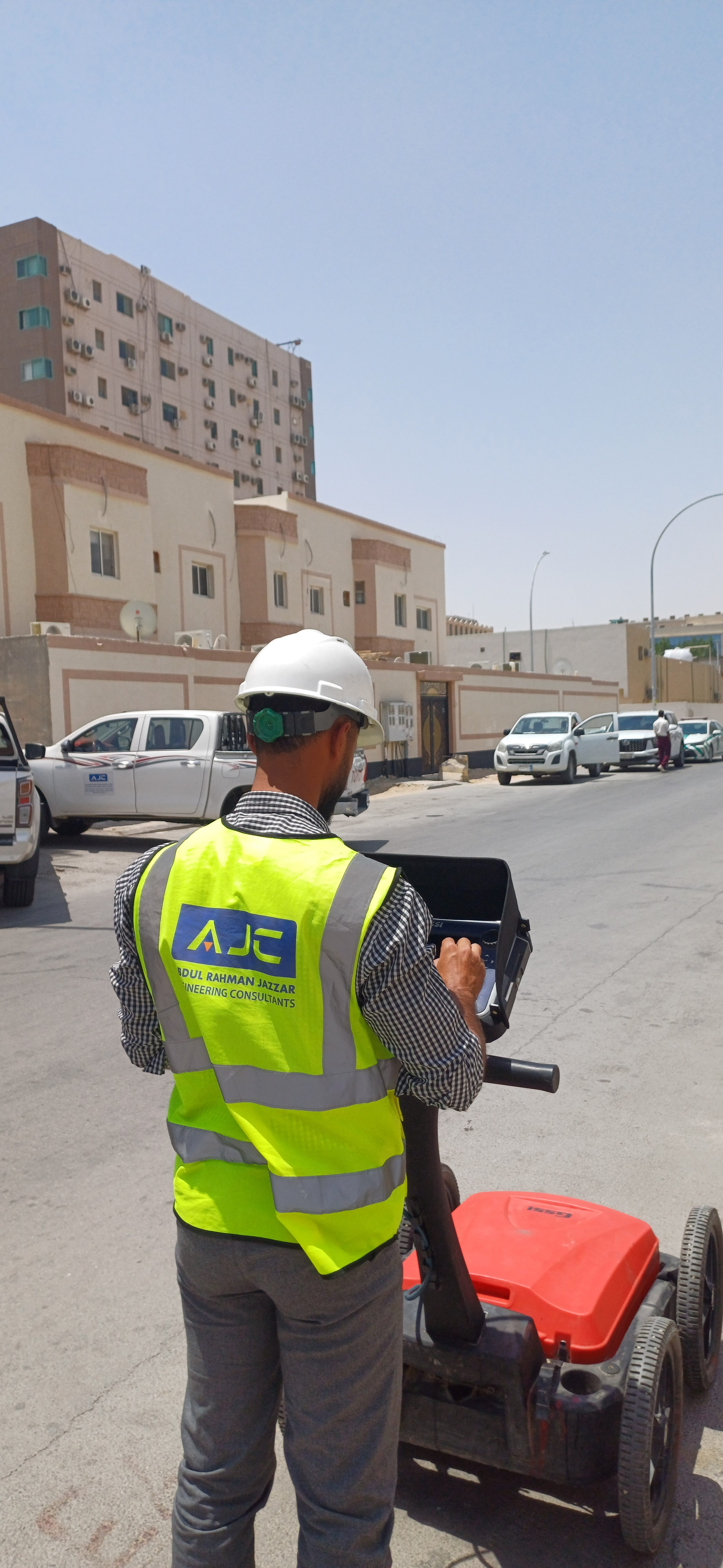
• Geophysics in groundwater well exploration: Electrical resistivity methods (ERT, VES) are among the primary techniques used in groundwater well exploration units. They provide accurate data on subsurface layers and their properties. Some methods even detect water salinity and density, helping to assess water suitability for agriculture, industry, and drinking purposes.
• Fault and crack detection: Faults or cracks — which may cause water loss or affect well productivity — can be identified, aiding in the selection of the best drilling sites to ensure successful operations with minimal cost and effort.