
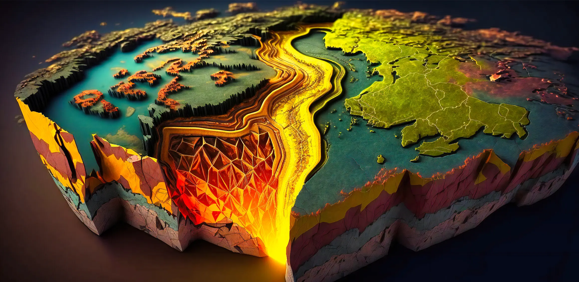
Geophysics
Abdelrahman El-Jazzar Engineering Consulting Company offers a comprehensive range of advanced geophysical services, covering structural and infrastructure assessment, mineral and ore exploration, and groundwater well exploration. We rely on cutting-edge technologies, including seismic surveys, magnetic and gravity surveys, electrical and electromagnetic methods, and ground-penetrating radar (GPR). Our commitment is to provide accurate and reliable geophysical data to support exploration, evaluation, and development projects with high efficiency.
Engineering Assessment Unit for Structures and Infrastructure Engineering
geophysics plays a vital role in assessing structures and infrastructure by studying the physical properties of the ground and subsurface materials using non-destructive techniques. This approach aims to provide accurate data to support safe and efficient engineering decisions (cost reduction, faster design processes, increased safety).
- Determining soil type and properties: Methods like electrical resistivity (ERT, VES) and seismic wave tests are used to determine the type of soil (rocky, sandy, clayey) and its characteristics, as well as to evaluate the condition of existing foundations without the need for costly or destructive drilling — crucial for foundation design
- Detecting cavities and subsurface voids: Ground-penetrating radar (GPR) technology helps identify voids or cavities that could lead to road or structure collapse.
- Slope and structure stability assessment: Seismic imaging and seismic reflection techniques analyze the stability of soil and rocks, aiding in the design of dams, bridges, and tunnels.
- Determining groundwater levels: By measuring electrical resistivity or using ground-penetrating radar, the depth and level of groundwater — which may affect building stability — can be identified.
- Underground infrastructure evaluation: Ground-penetrating radar and electrical resistivity are used to monitor ground movements and deformations in tunnels, pipelines, and tanks.
Groundwater Well Exploration Unit
- Geophysics (particularly electrical resistivity (ERT, VES) is one of the primary methods in groundwater well exploration units. It provides accurate data on subsurface layers and their properties. Some methods even detect water salinity and density, helping to assess water suitability (agriculture, industry, drinking).
- Faults or cracks — which may cause water loss or affect well productivity — can be identified, aiding in the selection of the best drilling sites to ensure successful operations with minimal cost and effort.
Mineral and Ore Exploration Unit
- Geophysical techniques (magnetic surveys, radiometric surveys, electromagnetic surveys, and gravity surveys) help detect changes in physical properties associated with mineral ores (conductivity, density, or magnetism).
- Provide information on the depth, size, and orientation of the mineral body, supporting productive drilling planning.
- Different minerals (e.g., copper, iron, gold, etc.) can be distinguished based on their physical properties.
- Geological layers and host rocks are identified to pinpoint suitable environments for ore deposits (geological mapping)
Projects List
Utility Survey Project, Al-Aziziyah District, Riyadh – Ground Penetrating Radar – Green Neighborhood For WSP Company
Project for detecting underground utilities and conducting topographic surveys for all services and facilities across various Riyadh districts for the Royal Commission for Riyadh City – Riyadh Green Project
Project for detecting underground utilities using Ground Penetrating Radar for the Royal Commission for Riyadh City
Utility detection project for King Khalid Road using Ground Penetrating Radar for the Royal Commission for Riyadh City