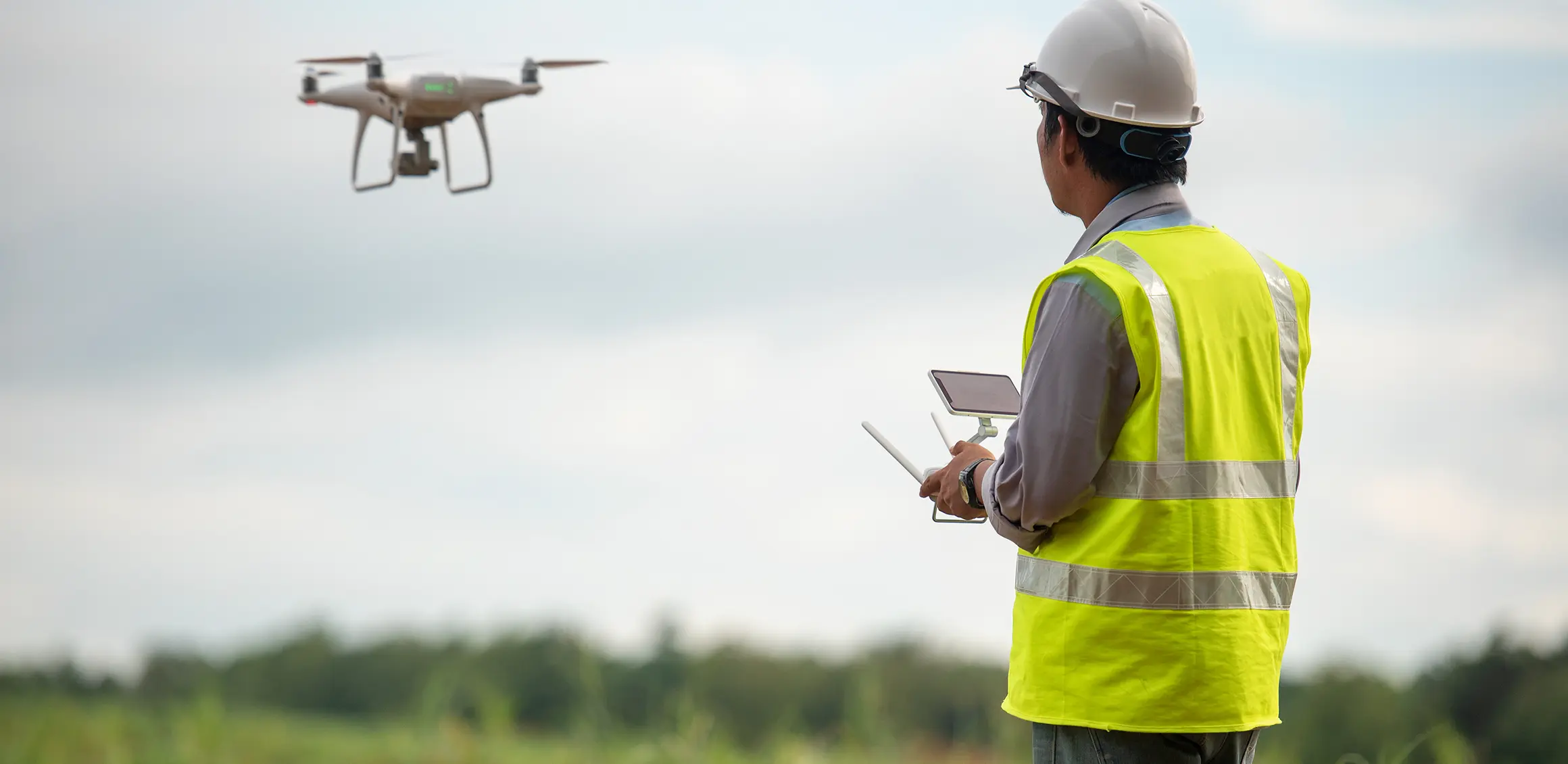
Smart Scan
The Smart Scan technology in the GIS (Geographic Information System) field is a powerful tool that allows for the rapid collection and analysis of geospatial data. The Smart Scan system is typically used in the field to collect data, and then the data is processed and analyzed using GIS software.
revolutionizes spatial applications within our AJC company, offering advanced solutions for precise surveying. Leveraging cutting-edge 3D scanning capabilities, Smart Scan enhances our spatial data collection and mapping processes. From detailed terrain analysis to efficient infrastructure mapping, this technology provides unparalleled accuracy, efficiency, and insights across various surveying projects. Our integration of Smart Scan into our services reflects our commitment to staying at the forefront of technological advancements, ensuring that our clients receive innovative and high-quality solutions for their spatial.
Smart Scan technology in the field of surveying serves various purposes, enhancing spatial data collection and analysis. Some key applications include:
High-Precision 3D Scanning: Smart Scan enables detailed 3D scanning for accurate representation of terrain, structures, and objects.
Topographic Mapping: The technology is employed for creating detailed and precise topographic maps, supporting various engineering and construction projects.
Infrastructure Assessment: Smart Scan facilitates efficient assessment of infrastructure, identifying structural details and potential issues.
Environmental Monitoring: The technology is utilized for monitoring and analyzing environmental changes, aiding in ecological and conservation efforts.
Urban Planning: Smart Scan contributes to urban planning by providing accurate data for land-use planning, zoning, and development projects.
Survey Efficiency: The technology streamlines the surveying process, saving time and resources while maintaining high levels of accuracy.
Digital Twin Creation: Smart Scan assists in the creation of digital twins, virtual replicas that can be used for simulations and analyses.
By incorporating Smart Scan into our surveying practices, we ensure precision, efficiency, and innovation in meeting the diverse spatial needs of our clients.
