Water and Sewage Networks Database Project - Qassim, Al-Baha, Makkah, Riyadh Suburbs
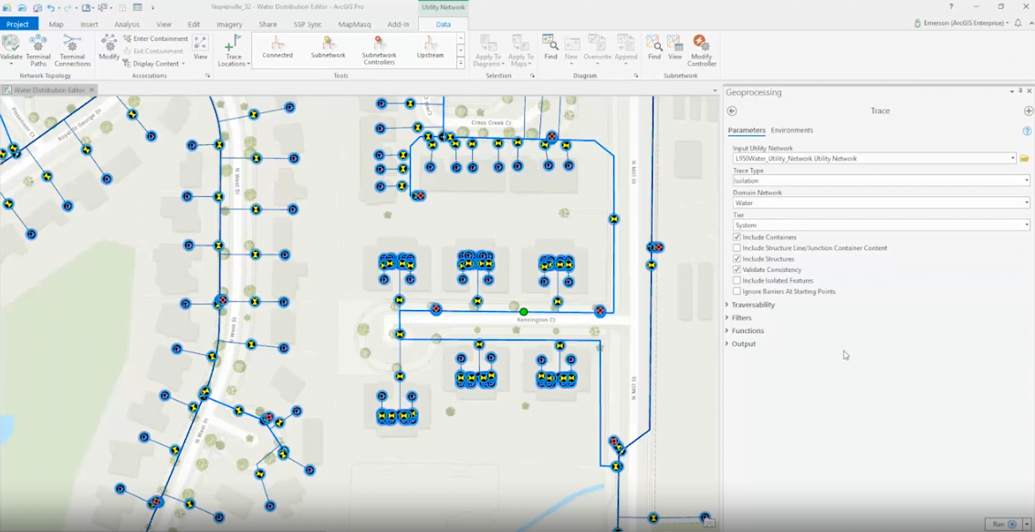
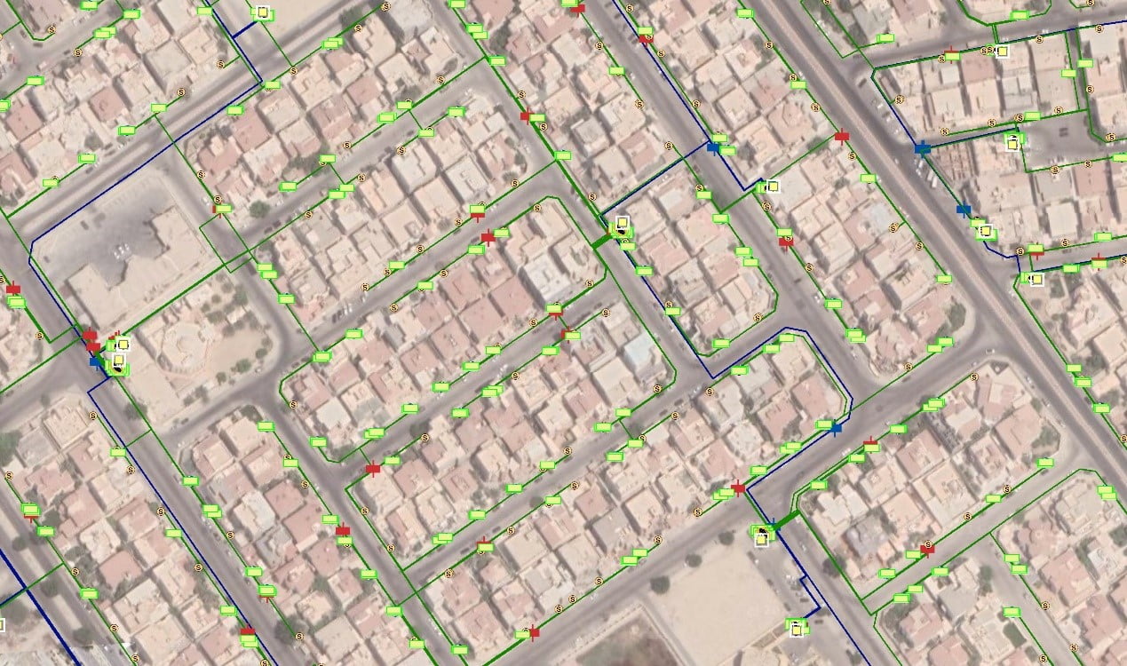
This project is dedicated to the detailed documentation, modeling, and enhancement of the water and sewage infrastructure using GIS technology. By improving the accuracy and efficiency of network mapping, the initiative supports the optimization of water and sanitation services across the targeted regions.
Following the completion of the surveying phase, Geographic Information Systems (GIS) processes are implemented to establish a comprehensive water and sewage networks database for the regions of Qassim, Al-Baha, Makkah, and the suburbs of Riyadh. The specialized office team undertakes several critical tasks to ensure the accuracy and functionality of the system:
– Data Entry and Verification:
The specialized office team is responsible for data entry, validation, and integration, ensuring that all Attribute and spatial information is accurately extracted from images and aligned with the database received from the Water Directorate.
– GIS Team :
Leveraging GIS expertise, the GIS team digitizes and refines the network.
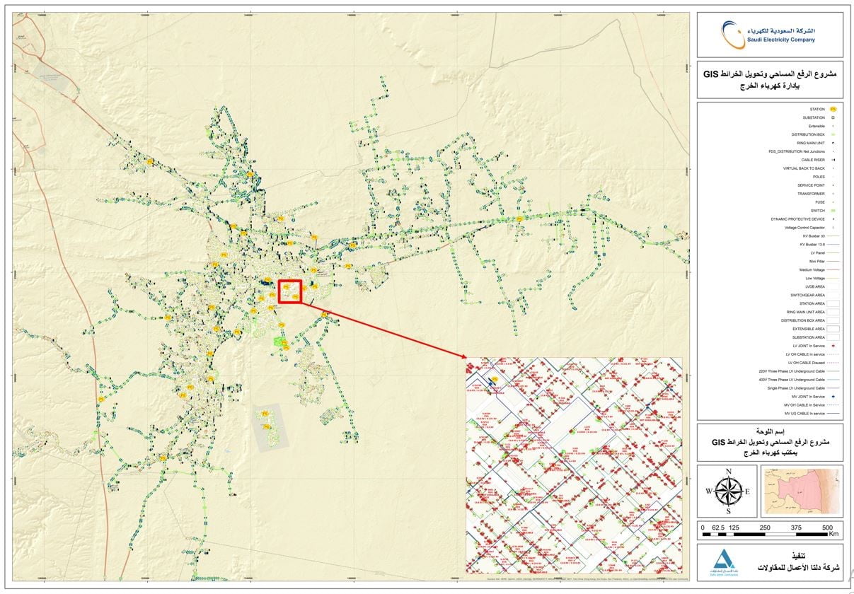
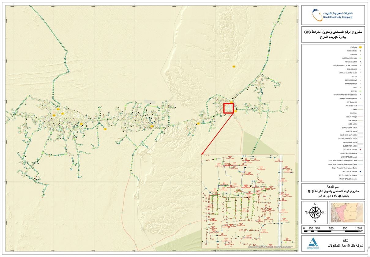
Electric Network Data Collection and Conversion to Geographic Information Systems (GIS) Project – Al-Baha, Al-Kharj, Qassim, Al-Qatif, Riyadh , Asir, Hail:
This project focuses on the systematic collection, integration, and Conversion of electric network data into Geographic Information Systems (GIS) across Al-Baha, Al-Kharj, Qassim, Al-Qatif, Riyadh, Asir, and Hail. The process is structured into key phases:
– Data Entry and Verification:
The specialized team is responsible for entering data, ensuring the accuracy of texts through images, and incorporating all relevant data from the images. This is done based on the database received from the Saudi Electricity Company.
– GIS Team :
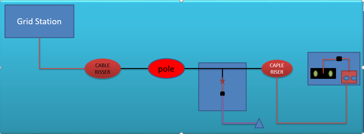
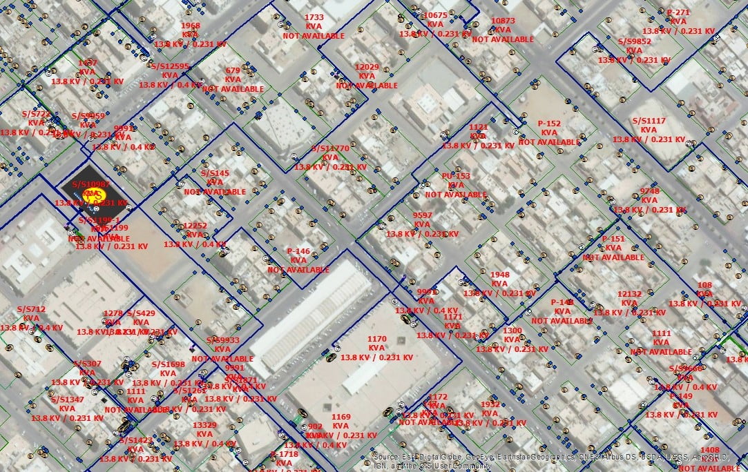
The GIS team is responsible for digitizing and refining the electric network, addressing aspects such as connectivity, network load distribution, and structural adjustments. This ensures an accurate digital representation, facilitating efficient power infrastructure management.
– Quality Control and System Integration:
A dedicated quality control team rigorously reviews final outputs before uploading them to the Saudi Electricity Company’s server via the ARC FM platform. This guarantees seamless integration, enabling various electrical sectors to utilize GIS-enhanced data for optimized network management and operational efficiency.
