- Engineering Consulting
- Hydrology
- Smart Scan
- Surveying
- Scanning
- Drone
- Mobile Mapping & surveying
- GIS & Data Management
- Data Processing, Deliverables & Reporting
- Hydrographic & Marine Surveys (when applicable)
- 3D Laser Scanning & Smart Surveying
- Aerial & Drone-based Surveys
- Corridor & Transportation Surveys
- Utility & Infrastructure Surveys
- Engineering & Construction Surveys
- Topographic & Cadastral Surveys
- Control & Geodetic Networks
- GIS
- Geophysics
- Programing
- Building Information Modeling
- Environmental
- AI & Smart Cites

Department
Spatial Analytics and Modelling
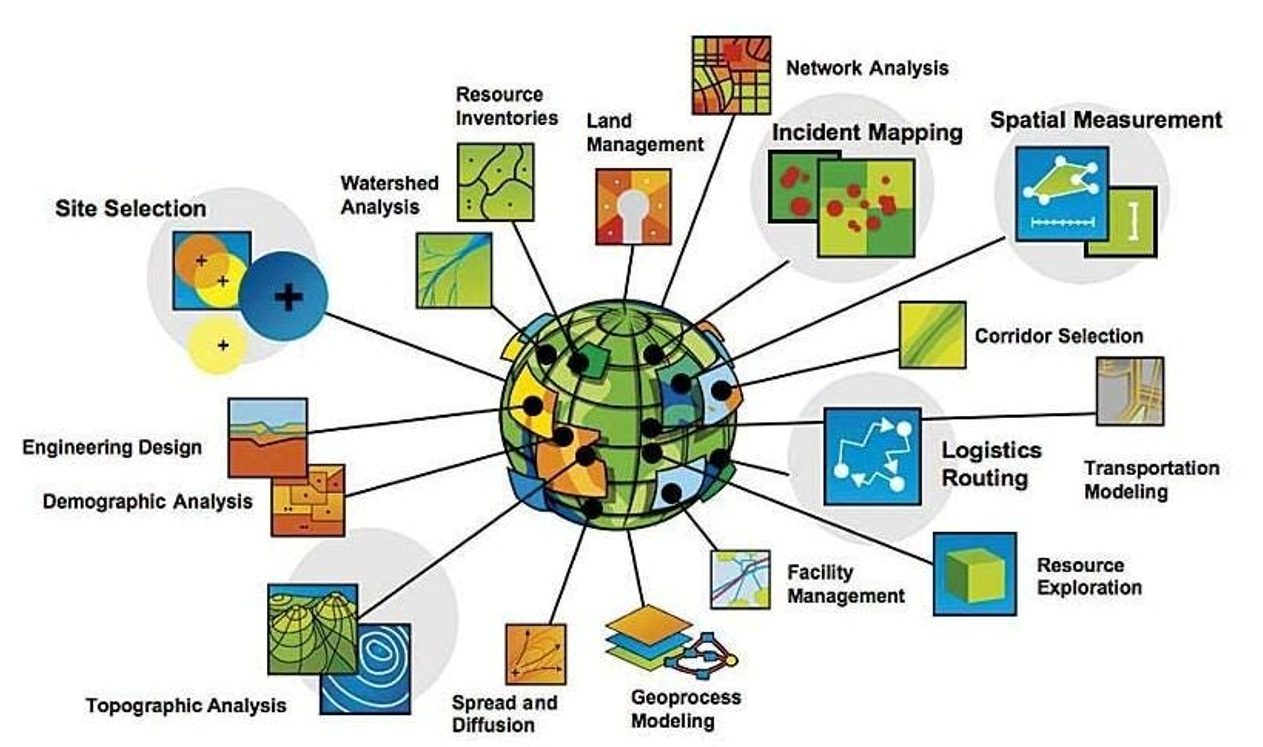
We provide advanced spatial analytics and predictive modelling solutions that transform geospatial data into actionable insights. By integrating GIS, remote sensing, and AI-driven algorithms, our team develops models that simulate urban growth, optimize infrastructure planning, and support strategic decision-making. This service helps organizations identify patterns, forecast future scenarios, and design smarter, more sustainable environments.